Saturday, 6 January 2018

Vermilion Peak

Trail Name: Vermilion Peak
Activity: Alpine Touring/Backcountry Skiing
Distance: ~7 km (RT)
Altitude: 2,647 m
Elevation Gain: ~950 m (to turnaround point)
Area: Kootenay National Park
Crew: Bennett, Glen, Andrea, Tom
Time to Summit: ?

Trailhead: Paint Potts Parking Lot


Getting There:
From the Trans-Canada (Hwy 1), head south on the Kootenay Highway (Hwy 93). Take the right-hand turn into the Paint Potts Parking Lot

Additional Info:
Cross the highway and head South. You'll see the avi slidepath after a few clicks. We went up to the right of this, in the dense trees. We got some nice cloud inversion, stellar views, and stellar turns this day!! We then headed to Panorama from here to meet the Baes at Jules' cabin. What a weekend.

The next set of photos may contain every photo I've ever taken in my whole life (aka. there are A LOT! I'm sorry! It's hard to narrow down photos!)

 Classic Slef.

 Pound it (not a BD Ad, I swear)
 Tight trees! (This wasn't even the bad part)

Ben. 

 Inversion!

 Boot packin'

 Back in!

 Lunch skis to sit on.

 Some soup-de-scoop

 Climbin', skinnin', risin'

 Gorgeous.

 Trees thinning out...

 Got some fresh turns.

 You go, Glen Coco.


 Navigating some rocks.

Everyone (minus Tom!)

Sunday, 31 December 2017

Glacier Nordic Club

Activity: X-Country Skiing
Distance: ~10km 
Area: Whitefish
Crew: Steph, Diana
Lisa's Mom Rating: Yes

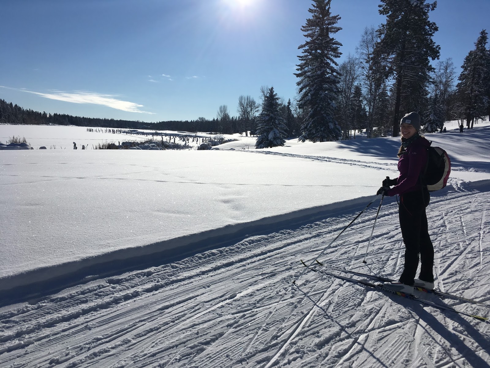
We x-country skiied at the Glacier Nordic Club (Whitefish Golf Course Location) after an amazing powder day downhill skiing at Whitefish Mountain Resort the day before. It was a beautiful, sunny day! (Please let me forget about the new boots kerfuffle/the guy at MEC selling me SNS boots when I asked for NNN)...


 Moi

 *Steph hits her arm on the car door*

 CoaL

Brunch at the Buffalo Cafe afterwards - highly recommend!

 Noice day.

 Very noice day.

 3-lass-slef

Thursday, 28 December 2017

Stanley Glacier/Storm Mountain Fire Break

Trail Name: Stanley Glacier Trail & Storm Mountain Fire Break
Activity: Alpine Touring/Backcountry Skiing
Total Distance: ~12 km
Altitude: ?
Elevation Gain: ~900 m total
Area: Kootenay National Park
Crew: Jon
Time to Summit: ?

Trailhead: Stanley Glacier Parking Lot


Getting There:
From the Trans-Canada (Hwy 1), head south on the Kootenay Highway (Hwy 93). Take a left into the Stanley Glacier Parking Lot.

Additional Info:
Jon and I decided to get our during my Christmas break from work. We wanted to do something on simple terrain since we are avi beginners, and even though the forecast was green/green/green, we settled on the Storm Mountain Fire Break. We ended up taking the wrong trail, and went up to Stanley Glacier - which was a great warm up! Then we came back down towards the parking lot and tried to bushwhack over to the Storm Mountain Fire Break, which was unsuccessful. Not sure what to do next, we tried to find the Fire Break by driving up the road a few hundred meters, and had success! (Its impossible to miss). We ended up parking at the bottom of it, got 3 runs in, and called it a day. Overall, we both wanted something a little more adventurous but were happy with the day due to our avi experience.

Heading up the Stanley Glacier Trail

 Jon, some poor visibility, and yellow-pants behind

 Jon again! We got a few fresh turns in on the Fire Break.


Sunday, 24 December 2017

Black Prince

Trail Name: Black Prince
Activity: Alpine Touring/Backcountry Skiing
Distance: ~7 km (RT)
Altitude: ?
Elevation Gain: ~700 m
Area: Spray Reservoir
Crew: Steph V, Aaron, Andrew, Bennett
Time to Summit: ?

Trailhead: Black Prince parking lot


Getting There:
From the Trans-Canada (Hwy 1), head south on Kananaskis Trail (Hwy 40). At the gate closure, turn right. Take the right turn for the Smith Dorrien (Hwy 742). Eventually the Black Prince parking lot will be on your left.

Additional Info:
This was my first backcountry tour. It was FREEZING (-30 C at the car when we started), but the stoke was high, it was Christmas Eve, and it turns out there was temp inversion so we were a lot warmer higher up. It was also my first time skiing in such awesome powder and I can never go back to icy Louise with the same satisfaction. It sure is a leg burner in the pow, but man, I LOVE this sport!!

Get ready for a boatload of pics...

Frosted eyelashes in -30 C!

Aaron, yours truly, and Sno Whyte

Yours truly with white hair

da girls

Gorgeous pano. Breaking the trees.

Me n' Middy

Not bad view!!

Lunch with a view

Stoked.

Saturday, 16 December 2017

Prairie View iii

Trip #3:
Crew: Ben
Date: December 16, 2017
Time to Summit: ~1:30

Click here to see the Prairie View post

 On the way up

 Ben and I

 Ben and his orange BD gloves

 Back at the lake just around sunset

Gorgeous shot. "Winter", eh?

Friday, 10 November 2017

Bow Glacier Falls

Trail Name: Bow Glacier Falls
Activity: Hiking
Distance: 9.2 km (RT)
Altitude: ~2,100 m
Elevation Gain: 180 m
Area: Icefields Parkway
Crew: Mikaila and Rachel
Time to Summit: ?

Trailhead: Num-Ti-Jah Lodge


Getting There:
Heading north on the Icefields Parkway (Hwy 93), take the exit on the left at Bow Lake/Num-Ti-Jah Lodge.

Additional Info:
Mikaila was in town so we decided to go into the mountains and get our fix! We stopped at Bow Lake to check out the shore but ended up walking to Bow Glacier Falls. Gotta love a little impromptu hike! It's funny because I had all my hiking gear in the car but I ended up doing the hike in my big parka and winter boots instead of my actual gear. It started out as a walk to the lake.. progressed into a little exploring around the trail.. then turned into a 9km hike... way she goes!

 Mik and I

 Mik, Myself and Rayho

 At Bow Lake

 Hikin'.

The Falls from a distance


Saturday, 28 October 2017

Grizzly Peak ii

Hike Name: Grizzly Peak
Activity: Hiking/Scrambling
Distance: 7 km (RT)
Altitude: 2,545 m
Elevation Gain: 900 m
Area: Kananaskis Valley
Crew: Bennett and P0jan
Time to Summit: 1:50
Lisa's Mom Rating: Yes

Trailhead: Ripple Creek (Unmarked). The creek between Grizzly Creek and Hood Creek.


Getting There:
From the Trans-Canada (Hwy 1), head south on Kananaskis Trail (Hwy 40) and continue past the Fortress gas station. In about 4 km you will see Grizzly Creek. The next one is Ripple Creek, the trailhead. Trail goes up on the left side of the creek, it is hard to miss and marked with a cairn.

Additional Info:
I hiked up Grizzly Peak with my mom and sister in 2016 as well. Today we were looking for a good front-range mountain to hike as the snow is starting to stick in the mountains. We settled on Grizzly Peak. There wasn't much snow - just a few slippery sections that we navigated with our microspikes and the rest was smooth sailing. A gorgeous, surprisingly HOT, fall day with lots of laughs!

 Ben and PK. Shirts off October, baby.

 PK and the smoke show. (ps he is the smoke-show)

 PK and the ridge

LB and a nap