Trail Name: Healy Pass
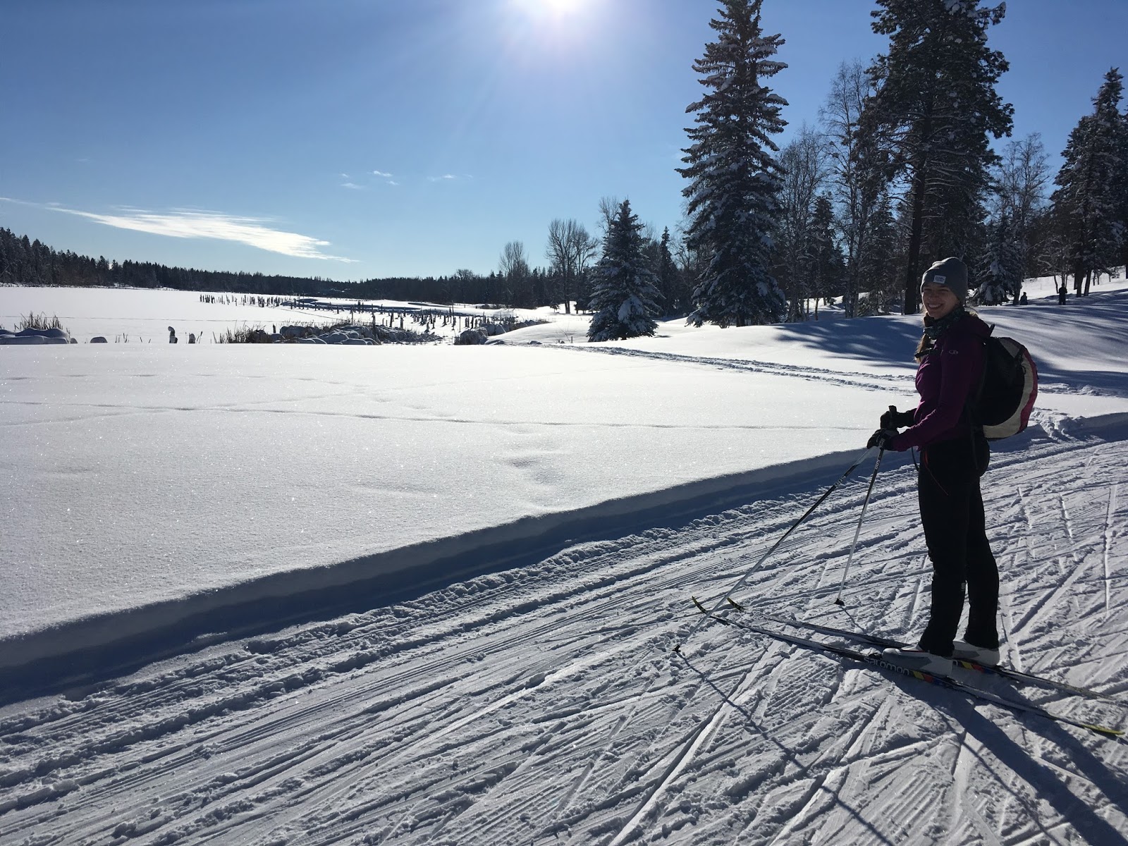
Activity: Alpine Touring/Backcountry Skiing
Distance: ~19 km (RT)
Altitude: 2,300 m
Elevation Gain: ~700 m
Area: Banff National Park
Crew: Bennett
Time to Summit: ?
Getting There:
From the Trans-Canada (Hwy 1), take the exit to Sunshine Resort and park in the lot (there is a backcountry lot past the hoards of resort-ski-vehicles, if you get there early enough there may be space).
Additional Info:
Bennett and I really wanted to get out on this weekend so we chose some simple terrain where we could just get a solid hike in/a beautiful day outdoors. The approach is quite long but we enjoyed it immensely!

Single photo day.