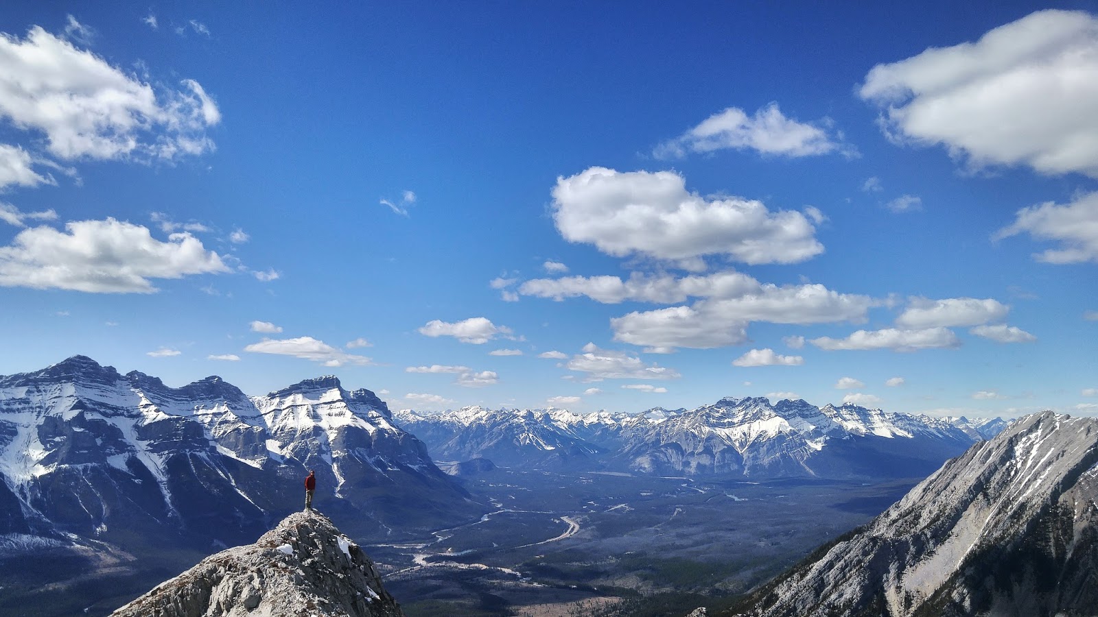
Saturday, 28 May 2016

Mount Lawrence Grassi

Hike Name: Mount Lawrence Grassi
Activity: Scrambling
Distance: 10 km (RT)
Altitude: 2,682 m
Elevation Gain: 1000m
Area: Kananaskis (Spray Reservoir)
Crew: Whit
Time to Summit: 2.5 hours
Lisa's Mom Rating: No
Trailhead: Goat Creek Parking Lot

Getting There:
From the town of Canmore, follow the signs toward the Nordic Center. Continue past the Nordic Center towards the Spray Reservoir. Eventually, you will be climbing up a hill on a gravel road that gets pretty dusty. You'll come across a parking lot on the right side of the road called "Goat Creek Day Use Area".

Additional Info:
I named this in the Canmore area because Ha-Ling, Miner's Peak, and EEOR are categorized under Canmore and they all have the same trailhead.

After you go up the hill and cross the reservoir, instead of going up the Ha Ling trail, continue along the reservoir for approximately 20 minutes until you hit a big cairn, you can't miss it. Head up this trail, following the flagging/cairns. The path up is quite obvious. Near the top there is a lot of loose rock on slabs that make balance and sure-footing difficult. 
 Near-summit photo looking South-East
  Looking down the spine
Me just after we passed the treeline 

Saturday, 21 May 2016

Forgetmenot Ridge

Hike Name: Forgetmetnot Ridge
Activity: Hiking
Distance: 12.5 km (RT)
Altitude: 2,200 m
Elevation Gain: 700m
Area: Kananaskis (Bragg Creek)
Crew: Julia
Time to Summit: 2.5 hours
Lisa's Mom Rating: Yes
Trailhead: Little Elbow Campground

Getting There:
Heading south on the 22 from Bragg Creek, turn right (West) onto Highway 66. Turn into the campground. Park at the last trailhead parking area. There is a bridge over the Elbow river here.

Additional Info:
I am not sure whether to call this an attempt or to call it complete. It was so cloudy up there that we would hit a high point on the ridge and were unsure whether there was more to go. Since the entire ridge up to Forgetmenot Mountain would add +10k to our hike, we decided that the view would be the same no matter where we were - clouds.
So, I will definitely be back to do this hike and see the views that we missed out on!

Note: Highway 66 is closed annually from Elbow falls to Little Elbow Campground from December 1 to May 14.
Me wading through Little Elbow.. We were reluctant to do this on a chilly, wet day.

Julia taking in the view before heading up into the clouds

 Julia in the clouds

 Enjoying a great view! ;)

Saturday, 7 May 2016

The Rimwall

Hike Name: The Rimwall
Activity: Hiking/Scrambling
Distance: 7.5 km (RT)
Altitude: 2,700 m
Elevation Gain: 1134 m (Total. We had to down climb and re-gain elevation at one point.)
Area: Kananaskis (Spray Reservoir)
Crew: Rachel, Mark, Stephen, Eric, Travis
Time to Summit: 3 hours
Lisa's Mom Rating: No
Trailhead: Spurling Creek

Getting There:
From the Trans-Canada (Hwy 1), turn off towards the Nordic Center and continue on this road past the Goat Creek Parking lot and along the Spray Reservoir. Pull over on either side of the road. 

Additional Info:
We hiked too close to Wind Pass on the main trail so after we broke off of the main trail, we ended up on some cliff bands. We made it through some of them, but eventually had to downclimb a bit to the bottom of a cliff. Once we got around the cliff to a passable section, the path up was obvious. We didn't see anyone on this hike, its always awesome to have an entire mountain to yourselves!
Everyone on the summit of the Rimwall and the Three Sisters in the background
Looking back at the Spray Reservoir
Admiring the sheer drop!

Sunday, 1 May 2016

Grizzly Peak

Hike Name: Grizzly Peak
Activity: Hiking/Scrambling
Distance: 7 km (RT)
Altitude: 2,545 m
Elevation Gain: 900 m
Area: Kananaskis Valley
Crew: Julia and Mom
Time to Summit: 2:15
Lisa's Mom Rating: Yes

Trailhead: Ripple Creek (Unmarked). The creek between Grizzly Creek and Hood Creek.


Getting There:
From the Trans-Canada (Hwy 1), head south on Kananaskis Trail (Hwy 40) and continue past the Fortress gas station. In about 4 km you will see Grizzly Creek. The next one is Ripple Creek, the trailhead. Trail goes up on the left side of the creek, it is hard to miss and marked with a cairn.

Additional Info:
Beautiful sunny day. It was my mom's first hike of the season. We got great views from the summit.
 Julia and Mom on the summit of Grizzly Peak

Me looking into the valley. Kananaskis Lakes in the background.

Sunday, 17 April 2016

Heart Mountain and Grant MacEwan Peak ii

Trip #2:
Crew: Steph
Date: April 17, 2016
Time to Summit: 
1:35 (to Heart Mountain)
2:15 (to Grant MacEwan Peak)


Click here for the Heart Mountain and Grant MacEwan Peak page.


 Looking back towards Heart Mountain (right) with Mount McGillivray on the left and the Canmore mountains in the background

Steph just after the summit of Heart Mountain

Saturday, 9 April 2016

Squaw's Tit

Hike Name: Squaw's Tit
Activity: Hiking/Scrambling
Distance: 9.2 km (RT)
Altitude: 2,543 m
Elevation Gain: 1219 m
Area: Bow Valley (Canmore)
Crew: Ben
Time to Summit: Unknown (blog created post-hike)
Lisa's Mom Rating: No

Trailhead: Harvie Heights


Getting There:
Head west from Calgary on the Trans-Canada (Hwy 1). Take the exit in Harvie Heights. Continue up into the community until you find an entrance to the trail system.

Additional Info:
Interesting name for a mountain.. Pretty politically incorrect but a really fun hike regardless. There is decent exposure, I was a bit nervous up on the ridge but Ben coaxed me along! We had a fun day. Near the end of our hike, Ben jumped in the stream.. I'll remind you that it's April in Canada... Crazy. We ventured up the stream and found a nice waterfall, then bushwhacked back to the main trail.
Me on the ridge after we finished the scree and started on the ridgewalk

Ben on the ridge

Saturday, 2 April 2016

Gap Peak

Hike Name: Gap Peak
Activity: Hiking/Scrambling
Distance: 9.6 km (RT)
Altitude: 2,517 m
Elevation Gain: 1197 m
Area: Bow Valley (Exshaw)
Crew: Rachel
Time to Summit: Unknown (blog created post-hike)
Lisa's Mom Rating: No

Trailhead: Bay Mag Plant Parking Area


Getting There:
Head west on Highway 1A. Pass through Exshaw and look for a sign for Grotto Mountain Pond. About 400m past this is the Bay Mag Cement Plant parking area.

Additional Info:
Follow Bob Spirko's directions. Once parked at the Bay Mag Plant, head straight across the gravel bed and into the trees. It is quite a bushwhack but if you're lucky you'll come across some flags to follow. Once above the trees, aim for the first cliff band, then follow the base of it to your right. Once the first cliff band is bypassed, you will bypass the second cliff band on the left. Go up the scree field, then ridge-walk to the summit.
 Bypassing the second cliffband on the climber's left